Fort Piute outing offers glimpse of old Army outpost, petroglyphs
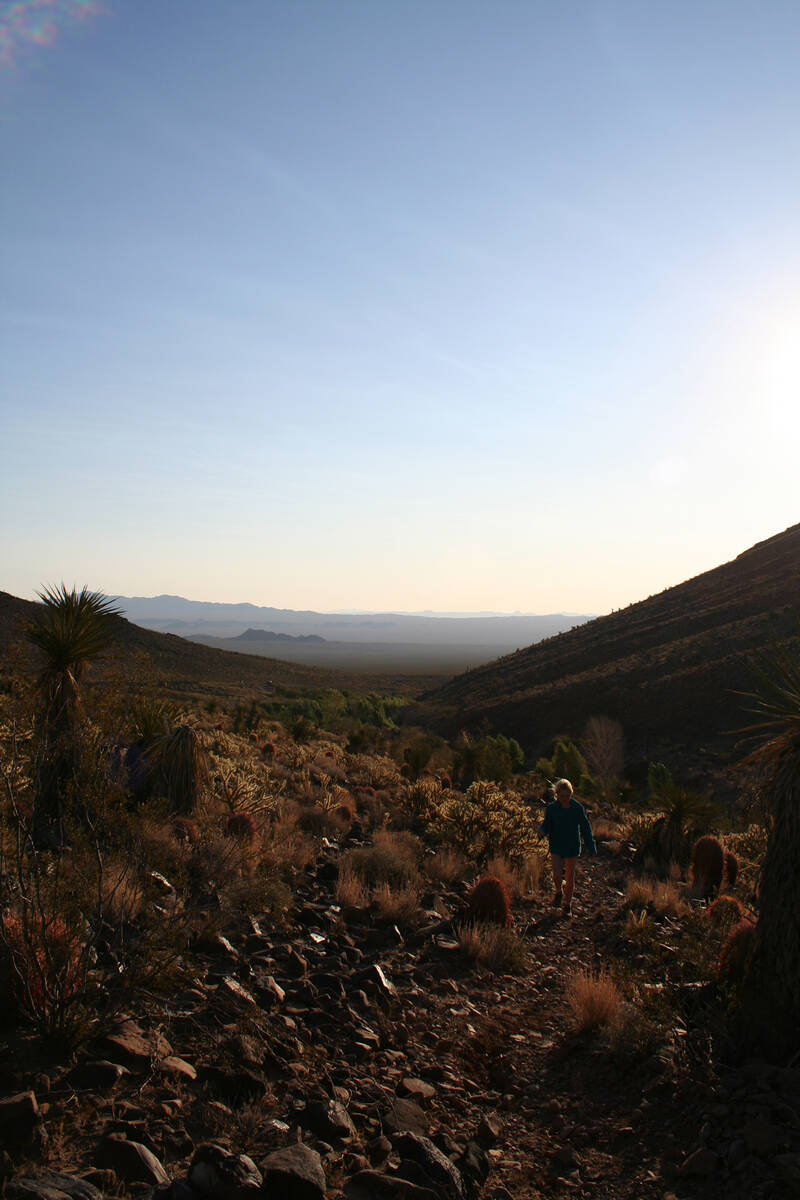
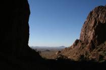
Fort Piute makes a wonderful day outing to a remote area in the extreme eastern region of the Mojave National Preserve in California. You’ll need to be prepared for this trip, though, as the road is rough; you’ll need a high-clearance vehicle with good off-road tires, a spare and tools to change one.
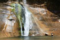
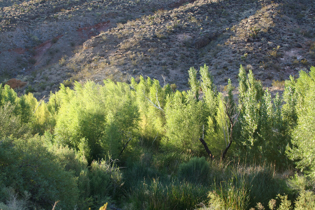
Once you arrive you will find the remains of an old Army outpost, Native American petroglyphs and a perennial stream with its surrounding riparian vegetation, a rare treat in our desert.
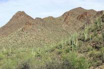
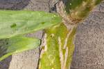
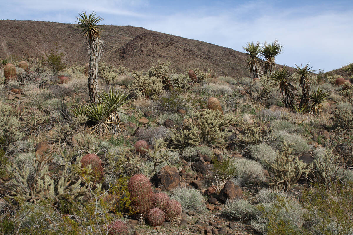
Piute Creek itself supports a healthy riparian habitat that includes cottonwood trees, willow and mesquite. On the hills surrounding the creek look for buckhorn cholla, Mojave yucca, barrel cactus and beavertail cactus. With all this vegetation and a steady supply of water, the neighborhood attracts lots of wildlife. I have seen red-tailed hawks and golden eagles soaring above and Gambel’s quail and phainopepla nearer the creek. Look for evidence of gray fox and bobcat and maybe catch a glimpse of the red-spotted toad by the stream.
Archaeological evidence shows humans have been using this area for thousands of years. This “way West” is thought to have originated as a trade route allowing Indigenous people of the Colorado River Basin to do business with the Chumash and other coastal tribes in California. After European-American settlers began hauling wagons along this same trail in the 1850s, they dubbed it the Mojave Road. It became a major route from Arizona Territory to Southern California.
In the 1860s, with worries about the safety of emigrants, supply wagons and the U.S. mail in this region, the U.S. Army established a chain of five outposts at water sources along the road, each about a day’s travel from the last. These spanned the lonesome country between Fort Mohave on the Colorado River to Camp Cady near Barstow, California.
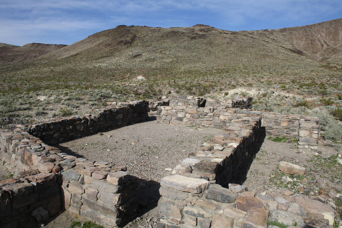
The Piute Creek outpost was built on a rise of volcanic rock at the base of the Piute range at the mouth of a canyon from where the creek flowed. “Fort Piute” was an ostentatious name for such a tiny station, which was really an outpost supported by larger military camps on the Colorado and in California. Only a small number of troops were stationed here, never more than 18 enlisted men.
Originally established about 1860, it was sporadically manned through the Civil War years by California Militia. Then the U.S. Army took over, but officially operated it less than a full year, from November 1867 to May 3, 1868. It was no longer needed, once this segment of the Mojave Road was relocated a few miles south.
But a little southwest of the ruins, where wagons were dragged up a steep hillside, one can still see their tracks in the bedrock.
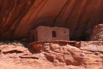
The post’s main feature was a stone blockhouse, which had loopholes that covered the creek as well as approaches to the small fortification. Little remains but building foundations and the lower stones of the walls. From their positions, however, one can understand the layout of a stone corral and a walled walkway between the corral and blockhouse.
The fort has been stabilized many times since the 1980s but continues to crumble. Please do not walk or sit on the walls or dislodge any rocks. All-terrain vehicles are not permitted in the preserve and there is no camping allowed at Fort Piute.
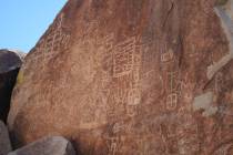
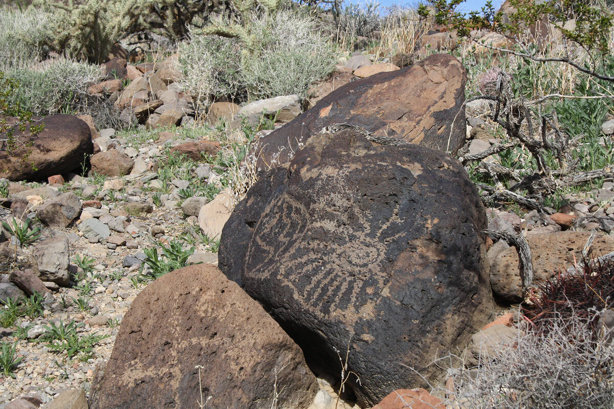
From the remains of the outpost and down to Piute Creek you will notice boulders that flank an old worn path. Look around these rocks and you will be sure to find many petroglyphs carved into the desert varnish. You will find the rock art to be primarily geometric patterns, but some feature wildlife such as bighorn sheep and there is what appears to be a depiction of the sun. This area was used by the Paiute, Mojave and Chemehuevi people, the latter still farming here in the 1850s.
The elevation at Fort Piute is about 2,773 feet so expect temperatures about the same as in the Las Vegas area. Travel here is ill advised from April through September because of extreme temperatures and even in the cooler months if it has rained recently or threatens to. Flash floods are possible in such weather and impassable roads quite likely.
Before setting out be sure to check weather and road conditions by contacting the Mojave National Preserve at 760-252-6100 or nps.gov/moja.
Many of Deborah Wall’s columns have been compiled into books about hiking in the Southwest. She is also the author of “Great Hikes, a Cerca Country Guide” and a co-author of the book “Access For All, Seeing the Southwest With Limited Mobility.” Wall can be reached at Deborabus@aol.com.
Directions:
Take U.S. Highway 95 south past Searchlight and the Laughlin turnoff (Route 163), continuing into California. Drive 6.5 miles from the state line and go right at mile marker 75 onto the gravel road. Drive west 7.1 miles and go right onto the power line road. Drive 1.3 miles and go left onto a gravel spur road and follow 1.7 miles to parking area.


